Spruce Knob
West Virginia

Last Updated 31 Jan 2026
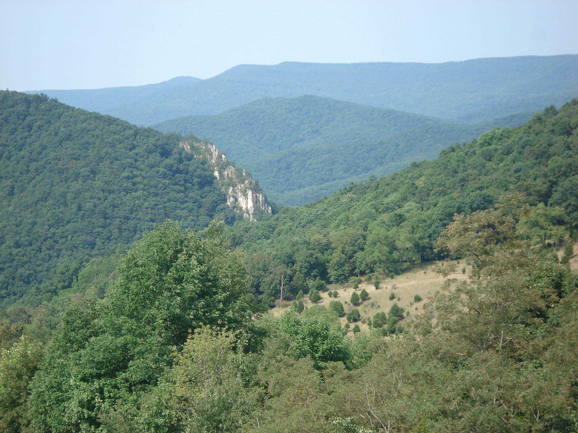
Spruce Knob, the highest point in West Virginia, stands in the Monongahela National Forest and offers breathtaking panoramic views of the Allegheny Mountains. The area is known for its rugged beauty, diverse ecosystems, and the Spruce Knob Observation Tower, making it a must-visit for nature enthusiasts and hikers alike.
Spruce Knob is part of Spruce Mountain, the highest ridge in the Allegheny Mountains. The mountain and its surroundings are rich in natural history and cultural significance. Indigenous peoples such as the Shawnee, Cherokee, and Mingo tribes, who valued the area for its abundant resources, once resided near Spruce Knob. The observation tower was constructed in 1969 to give visitors a 360-degree view of the stunning landscape. Today, the U.S. Forest Service manages the area, making it a popular outdoor destination.
Despite its elevation of under 5,000 feet, Spruce Knob boasts an alpine appearance distinct from many other peaks in the southern Appalachian Mountains. The summit is often windy, resulting in the characteristic Krummholz effect, where trees are bent and twisted. The landscape mainly comprises spruce forests and meadows, with many slopes covered in large talus and boulder fields. These rocks are primarily Pennsylvanian Pottsville Sandstone, a unique bedrock found only in Pennsylvania, West Virginia, Ohio, and western Maryland.
Access Point
Navigate to Forest Rd 274, Riverton, WV 26814.
Getting to Spruce Knob is straightforward but requires a bit of a drive. From Seneca Rocks, follow State Route 28/55 and then take Briery Gap Road towards the summit. The drive is approximately 21 miles and takes about 36 minutes. The road is paved but winding, so caution is advised. Ample parking and vault toilets are available at the summit. From the parking lot, a short, easy walk on the Whispering Spruce Trail leads to the observation tower and the summit's best views.
Recommended Route
Follow the Whispering Spruce Trail.
The primary hiking route to the summit is the Whispering Spruce Trail, a 0.5-mile loop that offers easy access and is suitable for all skill levels. This trail provides panoramic views and interpretive signs that describe the area's unique geology and flora. For those seeking a more challenging hike, the Huckleberry Trail is a 10.8-mile out-and-back trail that offers a more strenuous experience with diverse terrain and beautiful scenery.
Regulations
Spruce Knob is open year-round, but the best times to visit are during the summer and autumn. The roads to the summit are unmaintained in winter, so access can be difficult during snowy conditions. There are no entrance fees for Spruce Knob or the surrounding areas. Camping is prohibited in the parking lots and within 300 feet of the roads, but there are designated campgrounds nearby, such as the Spruce Knob Lake Campground and Gatewood Group Campground.
Lodging & Camping
For those wishing to stay overnight, there are several camping options nearby. The Spruce Knob Lake Campground offers convenient access to Spruce Knob Lake for boating and fishing, with fees for single and double sites. Gatewood Campground provides group camping sites. Additionally, nearby towns such as Seneca Rocks and Petersburg offer various lodging options, including hotels and cabins.
FAQs
How long does it take to hike to the top of Spruce Knob?
The hike to the top via the Whispering Spruce Trail takes about 15 minutes. It's an easy, flat trail suitable for most hikers.
Is there an entrance fee for Spruce Knob?
No, there are no entrance fees for visiting Spruce Knob.
Can I bring my dog to Spruce Knob?
Yes, pets are allowed but must remain leashed.
What activities are available at Spruce Knob?
In addition to hiking, visitors can enjoy fishing and boating at Spruce Knob Lake, picnicking at the summit, and exploring the extensive trail system in the area. The observation tower provides stunning views, especially during the fall foliage season.
Is Spruce Knob getting renamed to "Trump Mountain"?
No. According to The Inter Mountain, a West Virginia house delegate introduced a resolution in February 2025 to rename Spruce Knob to "Trump Mountain" following President Donald J. Trump's death as a “lasting tribute to his legacy and enduring influence" to the people of West Virginia. If adopted, the resolution would go to the U.S. Board on Geographic Names for consideration. However, the bill has received strong opposition from other delegates and the public, so it is unlikely to move forward.
