Kings Peak
Utah

Last Updated 31 Jan 2026
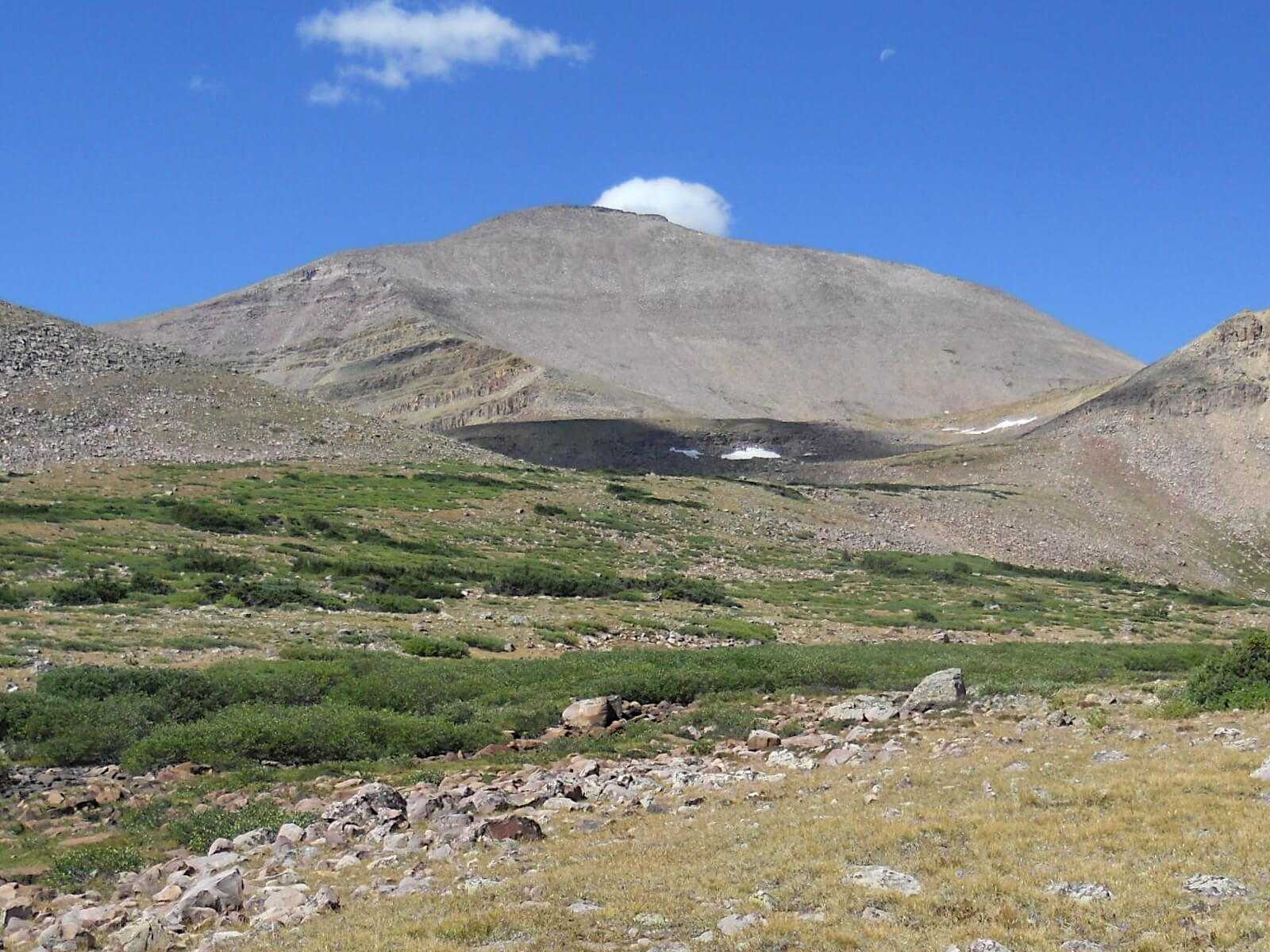
Kings Peak, standing at 13,528 feet in the Uinta Mountains, is the highest point in Utah and attracts thousands of adventurers each year. This peak is part of the Uinta Mountains, a unique range that runs east to west, unlike most ranges in the Rockies that run north to south.
The Uinta Mountains have been a significant part of the region's history for centuries. Native American tribes, including the Ute and Shoshone, initially inhabited the land and used it for hunting and gathering. The name "Uinta" is derived from the Ute word "Yoov-we-teuh," which means "pine forest" or "pine tree."
In the 19th century, European explorers and trappers ventured into the Uinta Mountains. Clarence King was a notable figure in exploring and surveying the American West. As the first director of the US Geological Survey, King's work was crucial in mapping the region and advancing geological science. His contributions to understanding the West's topography and geology are commemorated through the naming of Kings Peak.
The peak has long been a destination for mountaineers and hikers seeking to challenge themselves, for its remote location and the rugged terrain of the Uintas make it a rich wilderness experience. The area around Kings Peak is protected as part of the High Uintas Wilderness to preserve the region's natural beauty and ecological integrity.
Access Point
Navigate to Henrys Fork Campground.
The primary access point for Kings Peak is the Henry's Fork Trailhead. Located about 140 miles east of Salt Lake City, the trailhead is accessible via I-80 East towards Park City, then south on Highway 414 in Wyoming. From there, follow County Road 290 to Henry's Fork Campground. Be prepared for limited cell service and dirt roads as you approach the trailhead.
Recommended Route
Follow the Henry's Fork Trail.
The most popular route to the summit of Kings Peak is via the Henry's Fork Trail. This 27.8-mile out-and-back trail begins at Henry's Fork Trailhead and follows a scenic path through forests and meadows, past Dollar Lake, and up to Gunsight Pass. From there, hikers can choose between a longer, more gradual route through Painter Basin or a shorter, steeper "shortcut" known as the Gunsight Pass Cutoff.
- Distance: 27.8 miles round trip
- Elevation Gain: 5,160 feet
- Difficulty: Hard
- Duration: 2-3 days recommended for most hikers
The final push from Anderson Pass to the summit involves a challenging scramble over rocky terrain, but the panoramic views from the top are worth the effort. Be prepared for potential altitude sickness and rapidly changing weather conditions.
Regulations
No permits or fees are required for hiking or camping in the High Uintas Wilderness, but please follow Leave No Trace principles. Dogs are allowed on a leash. Since there is no cell service at the trailhead or along most of the trail, plan accordingly and let someone know your itinerary.
Lodging & Camping
Camping options near Kings Peak include:
- Henry's Fork Campground: Free, no reservations required. It is a popular spot for hikers to camp the night before starting their trek.
- Dollar Lake: The most common camping spot about 7 miles from the trailhead that provides a convenient base for the summit push.
For those preferring established campgrounds, there are several options in the surrounding areas of the Uinta Mountains. Be prepared for cold nights, even in summer, as the high elevation can lead to chilly temperatures.
FAQs
How difficult is the hike to Kings Peak's summit?
The hike to Kings Peak is considered hard due to its length and elevation gain. The trail is non-technical, but the high altitude and long distance make it strenuous. Most hikers complete it in 2-3 days.
What is the best time of year to hike Kings Peak?
The best time to hike Kings Peak is from July to September when the snow has melted and the weather is relatively stable. Afternoon thunderstorms are common, so it's best to summit early in the day.
What gear is recommended for the hike?
Essential gear includes sturdy hiking boots, trekking poles, plenty of water (at least 2 liters), sun protection, a map or GPS, and layers for varying weather conditions. Carry a water filter or UV pen since natural water sources are available along the trail.
