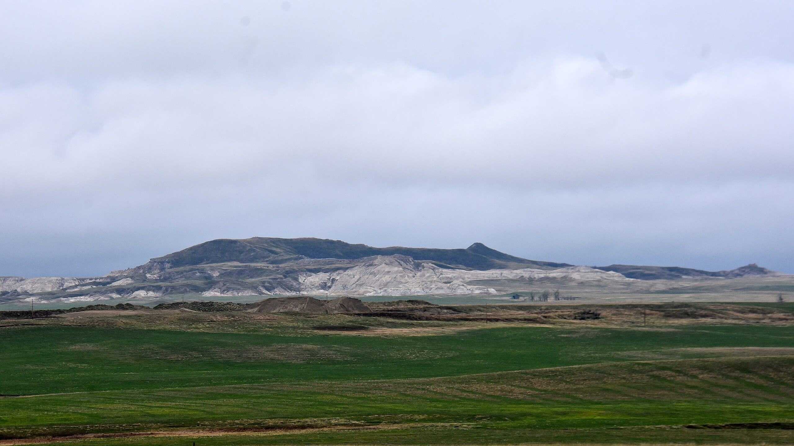
White Butte
North Dakota

Last Updated 31 Jan 2026
White Butte, at an elevation of 3,506 feet, is the highest point in North Dakota. Located in the southwestern part of the state between Amidon and Bowman, it offers stunning panoramic views of the surrounding badlands and prairies. This hike is a relatively short and straightforward adventure, perfect for seasoned and casual hikers looking to experience the state's natural beauty.
White Butte is part of the Dakota Hogback Formation, consisting of sedimentary rock deposited over 60 million years ago. This area holds cultural significance for the Dakota and Lakota tribes, who consider it a sacred site. Visitors are encouraged to respect the land and follow trail etiquette to honor its cultural heritage.
Access Point
Navigate to 9MWX+7P Amidon, North Dakota.
To reach White Butte, drive east from Amidon on Highway 85 for 2 miles, then turn right onto 140th Ave SW and continue for 5 miles. Turn right onto 69th Street SW and drive for 1 mile before turning left onto White Butte Trail Road. The trailhead parking area is located 0.7 miles down this road. There is a small parking pullout, and hikers are requested to leave a $5 donation in the provided box to help maintain access to the trail.
Recommended Route
Follow the White Butte Highpoint Trail.
The hike to the summit of White Butte is approximately 1.7 miles round trip. Walk along a privately owned dirt road from the parking area for about a mile to reach the trailhead gate. Pass through the gate and follow the well-trodden path, which ascends gradually before reaching a series of short, steeper climbs. The trail winds through tall prairie grasses and rocky terrain before culminating in a final ascent to the summit, where you can enjoy expansive views and sign the summit register.
Regulations
- No permits are required to hike White Butte.
- Access is granted on a free-will donation basis.
- Vehicle access is only allowed at the designated parking area; do not drive up the access road.
- Respect private property by staying on the trail and not straying onto adjoining lands marked as "No Trespassing."
- Close the trailhead gate to prevent livestock from escaping.
- Follow Leave No Trace principles to keep the trail open for future visitors
Lodging & Camping
While there are no camping facilities at White Butte itself, nearby options are available. Bowman, ND, the closest city, offers hotel lodging for those preferring more comfortable accommodations. For campers, Theodore Roosevelt National Park, located about an hour north, provides excellent camping facilities and additional hiking opportunities.
FAQs
What should I wear for the hike?
Wear sturdy hiking shoes or boots, as the trail includes sections of loose gravel, slippery clay, and tall prairie grasses. Given the lack of shade on the trail, wearing long pants, sunscreen, a hat, and sunglasses is wise for sun protection.
Are there any hazards to be aware of?
Yes, the area is home to rattlesnakes, particularly in warmer months. Hikers should also be cautious of the trail's uneven terrain and potential washout sections.
Can I bring my dog on the hike?
Dogs are allowed, but since part of the trail is on active rangeland, keeping your dog on a leash to avoid encounters with livestock is best. Always pick up after your pet to maintain the trail's cleanliness.
Is the trail suitable for families?
The trail is moderate in difficulty and might be challenging for young children due to the uneven terrain and lack of shade. For a more family-friendly hike, consider visiting Theodore Roosevelt National Park instead.
When is the best time to hike White Butte?
The best time to visit is from March through October. Avoid the brutally hot, shadeless summers and the frigid, icy winters to ensure a more enjoyable hike.
