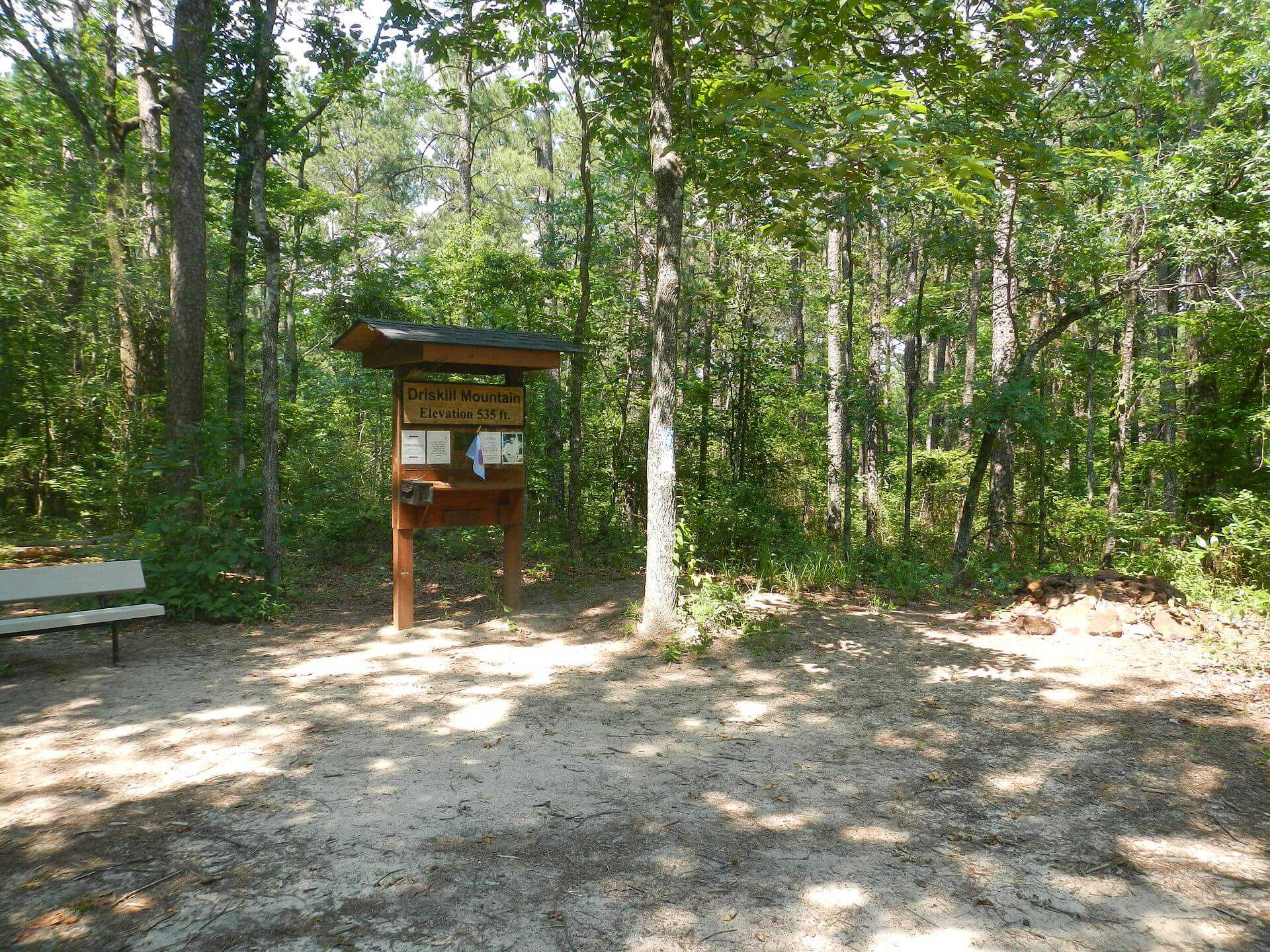
Driskill Mountain
Louisiana

Last Updated 31 Jan 2026
Mountains are the last thing that comes to mind when most Americans think of Louisiana. The state is one of three in the U.S., with its lowest point below sea level, and its highest point is the third lowest in the country. Only Florida's Britton Hill and Delaware's Ebright Azimuth are lower than this 163-meter (535-foot) elevation. Driskill Mountain dwells in the densely forested Piney Woods of East Texas and Louisiana, known for its logging operations and ferrous sandstone that gives the soil a reddish tint. While temperatures rarely drop below freezing in winter, the region typically experiences one significant snowstorm in late February or early March.
Driskill Mountain's namesake is James Christopher Driskill, a local landowner and farmer who settled in the area in the 19th century. The peak symbolizes Northern Louisiana's natural beauty and heritage as the mountain and surrounding areas have been used for logging, shaping the local landscape and economy. With their dense forests and rich soil, the Piney Woods have supported a vibrant community rooted in forestry and agriculture.
Access Point
Navigate to C484+24 Simsboro, Louisiana.
To reach Driskill Mountain from Interstate 20 (I-20):
- Take Exit 67 South towards Arcadia and continue for 1.7 miles.
- Head south on State Route 147 for 7.4 miles.
- Turn southwest (right) onto State Route 797 and continue for 3.7 miles.
- Turn west (right) onto State Route 507 at the T-intersection and continue to the Mt. Zion Presbyterian Church parking lot for one mile.
Recommended Route
Follow Driskill Mountain Trail.
The primary hiking route to Driskill Mountain begins at the Mt. Zion Presbyterian Church parking lot. For those seeking more vertical gain and distance, parking is available further south at the intersection where Jot Em Down Road meets the main road. The trail includes two false summits before reaching the true summit of Driskill Mountain. Landowners have marked the trail clearly to help hikers reach their destination without missing the actual summit.
Regulations
No permits are required to hike to the top of Driskill Mountain. However, the majority of the route crosses private property. Please respect the landowners' wishes and maintain good behavior to ensure continued access to this beautiful area.
Lodging & Camping
While there are no camping facilities directly at Driskill Mountain, the nearby town of Arcadia offers various lodging options, including hotels and motels. For those interested in camping, Lake Claiborne State Park, located approximately 20 miles northeast of Driskill Mountain, provides excellent camping facilities and outdoor activities, making it an ideal base for exploring the region.
FAQs
What is the best time of year to visit Driskill Mountain?
Driskill Mountain is open year-round, but the best time to visit is the spring and fall when temperatures are mild and the foliage is beautiful. Be prepared for one significant snowstorm in late February or early March.
Is the trail to Driskill Mountain well-marked?
The trail to Driskill Mountain is well-marked, with signs and markers to guide hikers past the two false summits to the true summit.
Are there restroom facilities at Driskill Mountain?
There are no restroom facilities at Driskill Mountain, so plan accordingly.
Is camping allowed on Driskill Mountain?
No, camping is not allowed on Driskill Mountain itself. However, Lake Claiborne State Park, about 20 miles northeast, offers excellent camping facilities.
What should I bring when hiking Driskill Mountain?
Don't forget bug spray, given the dense forest.
Is Driskill Mountain suitable for children and older adults?
Yes, the trail to Driskill Mountain is relatively easy and suitable for hikers of all ages, including children and older adults.
