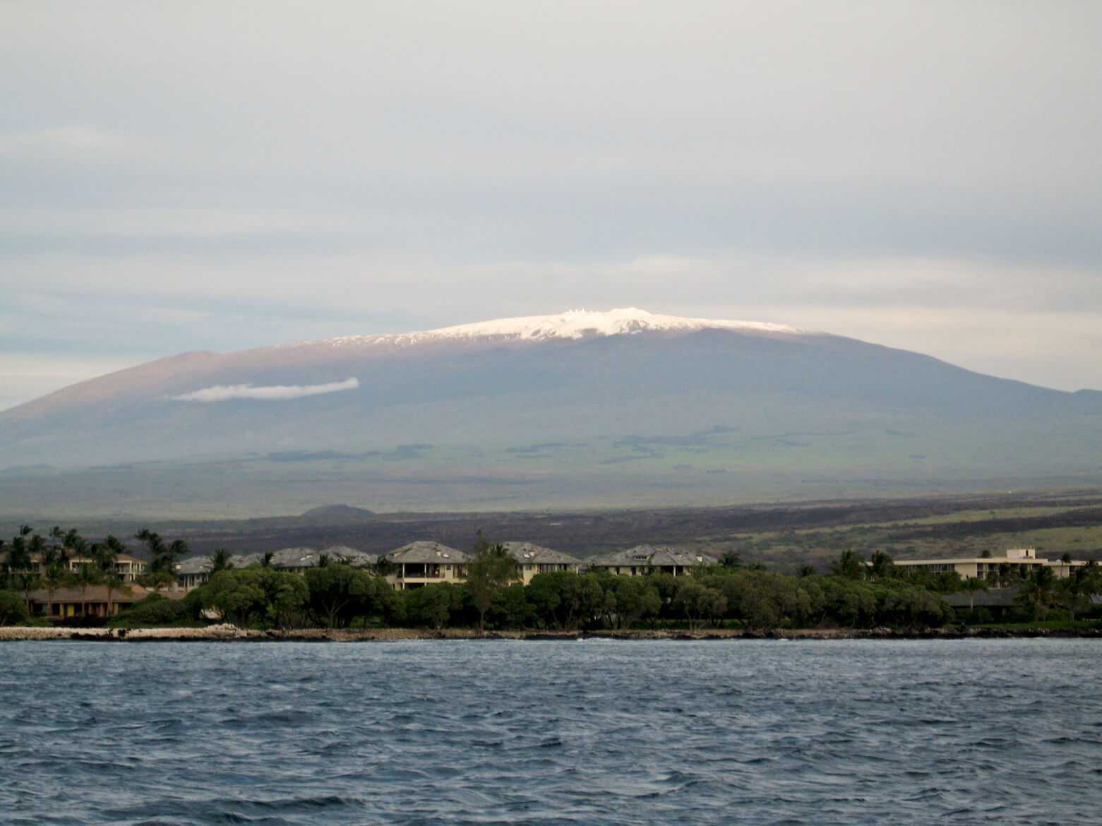
Mauna Kea
Hawaii

Last Updated 31 Jan 2026
Mauna Kea, located on the Big Island of Hawaii, is the state's highest mountain at 13,796 feet (4,198 meters), comprised of a series of volcanic cinder cones on a massive shield volcano. While Mauna Loa, the island's other prominent volcano, frequently spreads lava flows over a vast area, Mauna Kea's steeper slopes provide superior summit views and shorter hikes. It is important to recognize that Mauna Kea is a sacred site to Native Hawaiians, and access to the actual highpoint requires express permission from the local tribe.
Access Point
Navigate to Mauna Kea Humu'ula Trailhead.
You can travel from Hilo or the Kona/Waimea area to reach Mauna Kea. Access the Onizuka Visitor Center via Saddle Road (Highway 200). The Visitor Center is located 6 miles upslope on Summit Road, near the 28-mile marker off Saddle Road. No signs mark the turn to Summit Road due to frequent theft, so careful navigation is required.
Recommended Route
Follow the Mauna Kea Humu'ula Trail.
The Mauna Kea Humu'ula Trail begins approximately 100 yards northwest of the Onizuka Visitor Center. The trail is over 6 miles long (one way) and ascends 4,576 feet (1,395 meters). It loosely parallels a partially paved summit road. The trail follows the road from the Mauna Kea Ice Age Reserve boundary at 13,200 feet to the summit road's high point at 13,700 feet. The final stretch to the summit requires a short 5-to-15-minute walk and a 100-foot elevation gain. Hikers will enjoy splendid and wild views along the way.
An enjoyable side trip is a short jaunt to Lake Waiau, a shallow lake about a mile from the summit. Visitors should not disturb the lake, as it holds cultural significance for Native Hawaiians.
Regulations
No permits or fees are required to hike Mauna Kea. However, rangers request that you fill out a Visitor Information Sheet and drop it in a box next to the phone at the Visitor Center for emergencies. Highpointers should note that access to the actual highpoint is restricted and requires permission from the local tribe.
Lodging & Camping
Camping is not allowed on Mauna Kea itself. Given the significant altitude gain from sea level, acclimatization is crucial. Consider camping at the Mauna Kea State Recreation Area, 7 miles west of Summit Road near the 35-mile marker on Saddle Road. The area is popular with hunters on weekends, so midweek visits are recommended. Alternatively, spend time at the Onizuka Visitor Center to acclimatize and learn about the various observatories on the summit.
FAQs
What is the best time of year to hike Mauna Kea?
The best time to hike Mauna Kea is during the dry season, from April to October. Weather conditions are more stable, and the trails are less likely to be affected by snow or heavy rain.
Can I drive to the summit of Mauna Kea?
You can drive up to the summit's high point on a partially paved road. However, the last stretch to the actual summit requires a short hike. Note that the true highpoint is a sacred site, and access requires permission from the local tribe.
Are there restroom facilities available?
Yes, restroom facilities are available at the Onizuka Visitor Center.
Can I bring my dog on the hike?
Due to the altitude and fragile ecosystem, do not bring pets to Mauna Kea.
What should I do if I experience altitude sickness?
If you experience symptoms of altitude sickness, such as headaches, dizziness, or nausea, descend to a lower elevation immediately and seek medical attention if necessary. Before the hike, acclimatizing at the Onizuka Visitor Center can help prevent altitude sickness.
Is there a shuttle service to the summit?
There is no shuttle service to the summit. Most visitors either hike or drive to the summit's high point.
