Magazine Mountain
Arkansas

Last Updated 31 Jan 2026
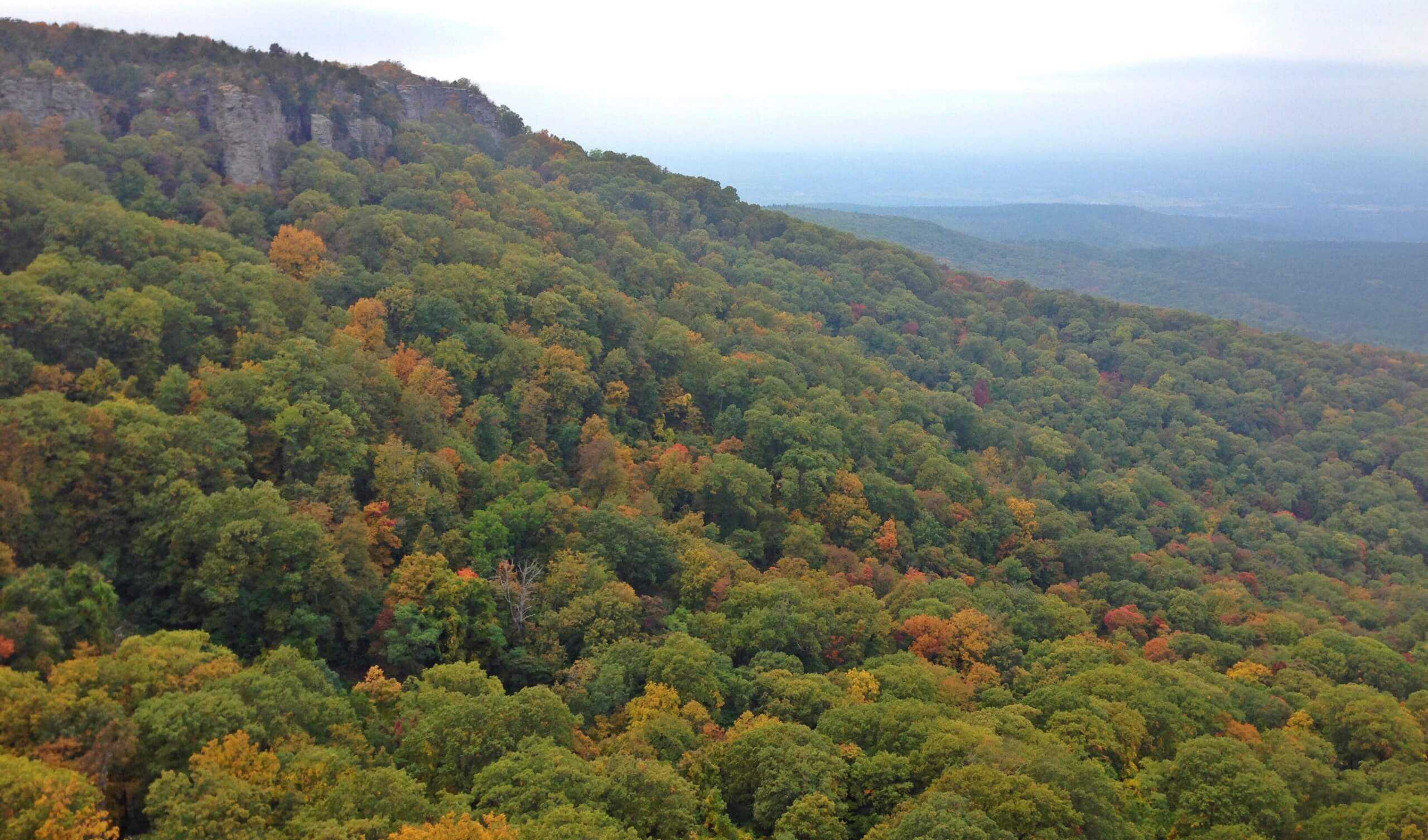
Arkansas boasts the unique Ozark Mountains formed by tectonic activity. Among the oldest in North America, the state's three main mountain ranges run east-west rather than north-south, contributing to Mount Magazine's mesa-like appearance. Mount Magazine is a flat-topped plateau with a sandstone cap rimmed by steep rock cliffs, featuring two peaks: Signal Hill and Mossback Ridge. Signal Hill is the highest peak in Arkansas and the Ozark plateau. The highpoint resides in the Boston Mountains of the Northern Ouachitas, 120 miles northwest of Little Rock.
Access Point
Navigate to 59C4+43 Paris, Arkansas.
Situated in the Arkansas River Valley within the Ozark National Forest, Mount Magazine-Signal Hill is approximately 17 miles south of Paris on Scenic Highway 309 (Mount Magazine Scenic Byway).
Recommended Route
We recommend the Benefield Trail (West Loop).
In the 1870s, Benjamin Benefield homesteaded 160 acres on Mount Magazine's southeastern leg. Once occupied by orchards, vineyards, and row crops, WPA/CCC crews built campgrounds and picnic facilities in 1939, rediscovered after being abandoned during World War II. Today, the trail makes a loop through a mixed pine and hardwood forest, crossing Highway 309 and leading to a wildlife pond. The eastern end of the Mossback Ridge Trail starts near the pond. The Benefield Trail loops back to the highway at the picnic area entrance, offering opportunities to enjoy wildflowers, butterflies, birds, and possibly deer and bear sightings.
Regulations
No permits are required. There are fees for the campground if you are staying overnight. Rangers encourage climbers at Mount Magazine to register at the visitor's center for free.
Lodging & Camping
Mount Magazine State Park offers 18 campsites. Campers must register at the Visitor Center before occupying a site. For more information on camping accessibility, visit the park website or call the park headquarters at 479-963-8502. The Cove Lake Recreation Area is a great alternative if the Mount Magazine campground is busy.
FAQs
What is the best time of year to hike Mount Magazine?
The best time to hike Mount Magazine is in the spring and fall when temperatures are mild, and the foliage is most beautiful. Summer can be hot, and winter may bring snow and ice, making the trails more challenging.
How do I get to the trailhead for the Benefield Trail?
From Fort Smith, take I-40 east to exit 35, then follow Route 23 south to Paris. From Paris, Mount Magazine is 17 miles south on Route 309. From Little Rock, take I-40 west to Russellville, then Route 7 south to Route 27 south, Route 10 west, and finally Route 309 north. The Benefield Picnic Area Trailhead is well-marked along Route 309.
What amenities are available at Mount Magazine State Park?
Mount Magazine State Park offers a variety of amenities, including 18 campsites, hiking trails, a pavilion and picnic area with restrooms, scenic overlooks, a visitor's center with an exhibit gallery and gift shop, and various recreational activities like rock climbing, horseback riding, biking, ATV trail riding, and hang gliding.
Are pets allowed on the trails?
Yes, pets are allowed on the trails at Mount Magazine State Park, but they must remain leashed. Make sure to clean up after your pets to keep the park clean and enjoyable for everyone.
Can I camp anywhere in Mount Magazine State Park?
Camping is only allowed in designated campsites. Campers must register at the Visitor Center before occupying a site. For more information on campsite availability, it's best to contact the park headquarters.
Are there any special events at Mount Magazine State Park?
Mount Magazine State Park hosts various events throughout the year, including the annual "Mount Magazine International Butterfly Festival." The park staff also presents regular interpretive programs. Check the park's event calendar for more information.
